Northern US Severe Storm Outlook: Persistent Rain and Gusty Winds Target the Northeast and Great Lakes
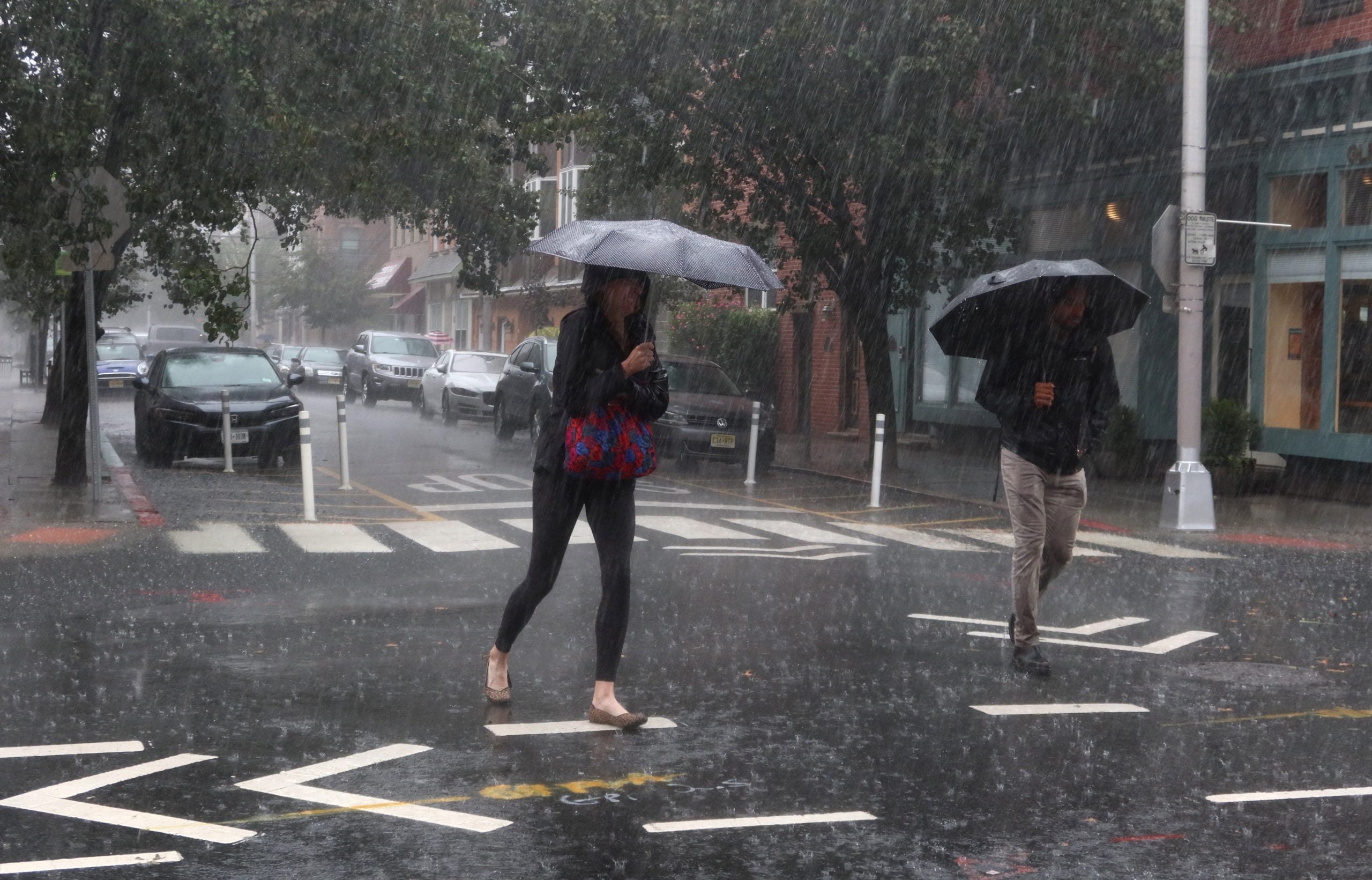
A powerful low-pressure system is set to unleash a multi-day stretch of hazardous weather across the northern tier of the United States, and the latest Northern US Severe Storm Outlook indicates that residents from the Great Lakes to New England should prepare for persistent rainfall and gusty winds through the weekend. The storm, currently deepening over the Midwest, will track northeastward into Southeastern Canada by Friday, dragging a sprawling shield of moisture behind it. Cities including Syracuse, New York; Burlington, Vermont; and Bangor, Maine, are squarely in the crosshairs for repeated downpours, reduced visibility, and wind gusts that could exceed 40 mph in exposed areas.
This is not a quick-hitting rain event. Forecast models suggest that the upper-level pattern will become nearly stationary, locking in a conveyor belt of Atlantic moisture that will keep skies gray and grounds saturated for 48 to 72 hours. For travelers, outdoor enthusiasts, and anyone living along the northern corridor, understanding the meteorological setup—and the risks it carries—is essential.
Atmospheric Science Behind the Northern US Severe Storm Outlook
At the heart of this event is a classic but potent meteorological clash. A strong shortwave trough digging through the Great Lakes is interacting with a lingering ridge of high pressure off the Atlantic coast. This configuration creates a sharp temperature and moisture gradient, fueling the development of a surface low that is rapidly intensifying. As the low pivots over Southeastern Canada, its counterclockwise circulation will pull deep tropical moisture northward from the Gulf of Mexico and the Atlantic, while also importing cooler, drier air aloft. The result is a highly efficient rain-producing machine.
Forecast soundings reveal a nearly saturated atmospheric column with precipitable water values running 150% to 200% above normal for mid-October. That means any shower or thunderstorm that develops will be capable of dumping heavy rain in a short period. Additionally, a strengthening low-level jet—winds just a few thousand feet above the surface—will mix down to ground level, producing frequent gusts of 30 to 45 mph, with isolated higher gusts possible along exposed ridgelines and coastlines.
Unlike a fast-moving cold front that sweeps through in hours, this system will crawl. The slow movement is due to a blocking pattern aloft, where a high-latitude ridge over Greenland and a cut-off low over the Southwest create a traffic jam in the jet stream. As a result, the Northern US Severe Storm Outlook calls for waves of rain rotating through the same areas repeatedly, raising the risk of urban flooding, small-stream flooding, and even isolated flash flooding where training cells set up.
Regional Impact: Who Gets Hit Hardest and When
The heaviest rain and strongest winds are expected to focus on a corridor stretching from northern Pennsylvania through upstate New York, Vermont, New Hampshire, and into Maine. The timeline below breaks down what each region can expect.
- Syracuse, NY: Rain becomes steady Thursday night and continues in waves through Saturday. Rainfall totals of 2 to 4 inches are likely, with locally higher amounts in the Finger Lakes. Wind gusts of 35 mph could lead to isolated power outages.
- Burlington, VT: The Champlain Valley will see persistent rain and gusty south winds. Lake Champlain wave heights could reach 3 to 5 feet, making boating dangerous. Urban flooding in low-lying areas is possible.
- Bangor, ME: Down East Maine will bear the brunt of the coastal low. Rain may be heavy at times, with 3 to 5 inches possible. Wind gusts near the coast could reach 50 mph, especially on Saturday.
- Northern Michigan and the Upper Peninsula: While not in the core of the heaviest rain, this region will still see periods of rain and blustery conditions, with temperatures running 10 to 15 degrees below normal.
By Sunday, the low will begin to weaken and drift farther northeast, but residual moisture and cyclonic flow will keep scattered showers and drizzle in the forecast through at least Monday morning. The good news is that the system should finally exit by Tuesday, allowing high pressure to build in and bring a return to drier, more seasonable weather.
Resident Safety Precautions for the Northern US Severe Storm Outlook
With days of rain and wind ahead, residents should take proactive steps to stay safe and minimize property damage. The ground is already saturated in many areas from recent rainfall, which means additional heavy rain will run off quickly and increase the flood risk.
- Never drive through flooded roads. Just six inches of moving water can knock you off your feet, and two feet can float most vehicles. Turn around, don’t drown.
- Secure loose outdoor items. Patio furniture, trash cans, and Halloween decorations can become projectiles in gusty winds. Bring them inside or tie them down.
- Prepare for power outages. Charge phones, have flashlights and extra batteries ready, and keep a supply of non-perishable food and water on hand.
- Stay away from downed power lines. Always assume they are live and report them to your utility company immediately.
- Monitor local alerts. Conditions can change rapidly. Sign up for emergency notifications from your county or municipality.
If you live in a flood-prone area, be ready to evacuate on short notice. Keep important documents in a waterproof container and have a go-bag packed. Farmers and livestock owners should move animals to higher ground and ensure they have access to shelter.
Interactive Radar & Tracking Advisory
To stay ahead of the storm, bookmark our Northern US Severe Storm Outlook radar page and check it frequently. The interactive radar allows you to zoom in on your neighborhood, track individual rain bands, and see lightning strikes in real time. You can also overlay wind gusts and rainfall accumulation layers to see exactly where the worst conditions are developing.
Our team of meteorologists will be providing continuous updates on air and online throughout the weekend. Be sure to follow us on social media for the latest warnings, watches, and advisories. If a Flash Flood Warning is issued for your area, seek higher ground immediately and avoid traveling unless absolutely necessary.
Frequently Asked Questions
Q: How much rain will I get from this storm?
A: Rainfall totals will vary, but generally 2 to 5 inches are expected across the northern tier, with isolated amounts up to 6 inches possible in the Catskills and Green Mountains. Localized flooding is likely.
Q: Will there be severe thunderstorms with tornadoes?
A: While the primary threats are heavy rain and gusty winds, an isolated severe thunderstorm with damaging wind gusts cannot be ruled out, especially Friday afternoon and evening. The tornado risk is very low but not zero.
Q: When will the weather improve?
A: The system will slowly pull away Sunday night into Monday, but lingering showers may persist into Tuesday morning. Drier air arrives by midweek, with sunshine returning.
Q: Is climate change making these storms worse?
A: While no single storm can be attributed to climate change, warmer ocean temperatures and a moister atmosphere can increase the amount of rain these systems produce, leading to higher flood risks.
Frequently Asked Meteorological Questions
Rainfall totals will vary, but generally 2 to 5 inches are expected across the northern tier, with isolated amounts up to 6 inches possible in the Catskills and Green Mountains. Localized flooding is likely.
While the primary threats are heavy rain and gusty winds, an isolated severe thunderstorm with damaging wind gusts cannot be ruled out, especially Friday afternoon and evening. The tornado risk is very low but not zero.
The system will slowly pull away Sunday night into Monday, but lingering showers may persist into Tuesday morning. Drier air arrives by midweek, with sunshine returning.
While no single storm can be attributed to climate change, warmer ocean temperatures and a moister atmosphere can increase the amount of rain these systems produce, leading to higher flood risks.